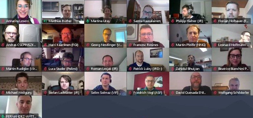
ESRIUM kick-off meeting
The 9-partner strong consortium that makes up the “EGNSS-enabled Smart Road Infrastructure Usage and Maintenance for increased energy efficiency and safety on European road networks” (ESRIUM) project came together online to kick-start the project on 9th December 2020.
The project received a funding grant of €3 million by the European Commission under the programme Horizon 2020 to foster greener and smarter road usage, road maintenance, and increase road safety. It includes 7 work packages and covers a range of applications. After an overview by coordinator JOANNEUM RESEARCH Forschungsgesellschaft mbH, each work package leader presented their plan and mapped out the next steps in the virtual meet-up.
*For the latest official updates on the Kick-Off Meeting, we invite you to download our press release at no cost: ESRIUM – Download our press releases for free
ESRIUM innovation
ESRIUM key innovation will be formed by a homogeneous, accurate and recent digital map of road surface damage and road wear. ESRIUM’s core proposition is a data platform, which hosts highly detailed EGNSS-referenced map data of road damage and associated safety risks at centimeter-level resolution. Further addressed as “road wear map”, it will contain unique information, which is of value to multiple stakeholders: road operators will be able to lower the road maintenance effort by optimal planning. Further, road operators will be able to lower road wear and increase traffic safety especially for heavy vehicles by suggesting driving adjustments to use the road surface more evenly.
Considering the market introduction of partly automated truck fleets, the precise track of these vehicles can be adjusted by communicating precise routing recommendations in- and cross-lane. For truck fleet operators this will increase the general safety for their vehicle fleet. Further, incentive measures for following these recommendations will be investigated. Especially with the increasing levels of autonomy, systems will utilize infrastructure support to handle the requirements of the automated driving task and additional external requests.
In ESRIUM, these opportunities are addressed by utilizing C-ITS infrastructure and EGNSS based localization in planning the trajectories of such automated vehicles. Key to the ESRIUM innovation is a precision localization service, which provides reliable localization information of road damages and of the vehicles using the roads. Considering a European-level business-case, only Galileo may provide such a service in homogeneous quality, even at very remote locations on the European continent.
what next?
The ESRIUM members, from 5 different countries, come from the business and academic community and will work together for the next three years for the replicability and sustainability of project results.
You can follow ESRIUM on Linkedin and Twitter to keep updated with its next developments.
